Island in the Bay
The City of Alameda is located west of the City of Oakland. Originally connected to Oakland as a peninsula, Alameda became an island in the beginning of the 20th century when a canal was dredged between the two cities.
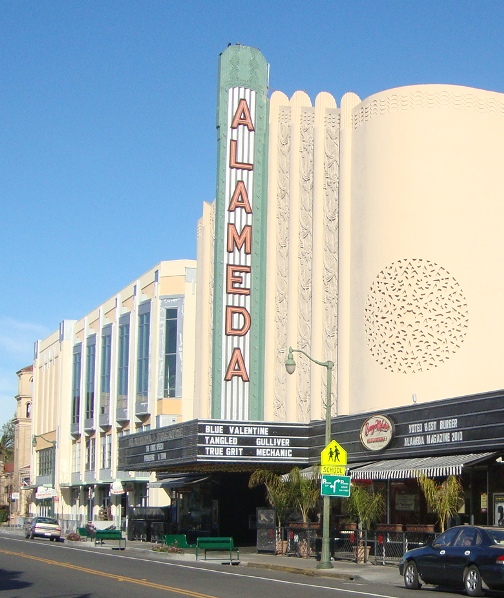
Alameda has two main streets: Park Street on the south east side of the island and Webster Street on the north west side of the island. Park Street is Alameda’s “Business District”, connecting Oakland’s Fruitvale and East Lake neighborhoods to Alameda’s shoreline and South Shore Center (Alameda’s main community shopping center). Webster Street connects Oakland’s Downtown and Jack London District to Alameda’s shoreline as well and Crab Cove—once home to the famous Neptune Beach, the west coast’s equivalent to the east coast’s Coney Island.
The City of Alameda’s island location lends it to be a quaint community with a small town character that for some is a contrast to its more urban feeling neighbor, Oakland. Most recently the City of Alameda has seen a lot of development in its northwest end, in particular on the site of the former Naval Air Station (NAS) known as Alameda Point. There has been a plan adopted for the future of Alameda Point that will include a town center, main street neighborhood, open spaces, a nature reserve and adaptive reuse area.
How to get to Alameda:
- By bicycle: From downtown Oakland, take Broadway to Embarcadero. Turn left on Embarcadero and take a right at 23rd Avenue to continue onto 23rd Avenue to cross over the green Park Street Bridge.
- By bus: AC Transit routes 51A or 851
- By car: Coming from the north, exit 23rd Avenue or Fruitvale Ave from Interstate 880 and turn left. Coming from the south, exit High Street from Interstate 880 and turn left.
fun on the shoreline

Alameda marina

Alameda Cineplex